Statistical Modelling of Water quality in the Ramganga sub-basin
The Ramganga water quality project is a two year research collaboration between statisticians, modellers, earth and water scientists funded by the GCRF-EPSRC under UKRI. It includes academics from three universities, environmental agencies, research institutes and international partners.
Updated on January 01, 2024 by Surajit Ray
Water Quality Downscaling Remote Sensing Global Challenge
7 min READ
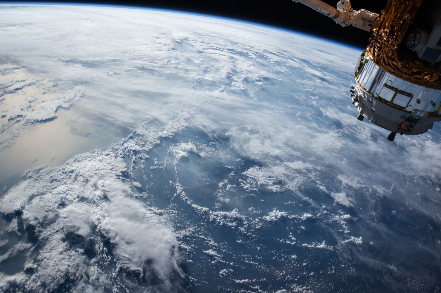
Traditional water sampling is based on a small number of sites, and is very labour intensive and expensive, and our proposal brings together data from new in-situ sensors, delivering data at high temporal frequency, coupled with intensive coupling high-end in-situ above and below water characterisation of the biogeo-optical properties of the Ramganga with measurements from calibrated miniaturised hyperspectral imaging radiometers deployed from drones, and data from new satellite missions (Sentinel 2). Together, these provide an efficient and unprecedented means of collecting significant data across a range of environments and pollution discharge scenarios of optical water types in the Ramganga basin. Coupling these data with conventional measures of WQ will provide the much desired framework for extrapolating WQ data at hitherto unachievable spatial and temporal resolutions.
Covering 26% of India’s total landmass, water quality and water resources in the Ganges basin are vital for the wellbeing of one of the largest and densest global populations (43% of India’s population). However, they are being compromised due to activities such as rapid industrialization and urbanization, and mitigation efforts are hampered by lack of historical and contemporary discharge and quality data. This project will develop and implement new statistical methodology specifically for the Ramganga sub-basin to integrate the new and existing water quality data with remote sensing satellite data (both historical data from multiple sensors and new retrievals from recent Sentinel missions). —
Goals
- Study will deploy recently available high-resolution earth observation data for a quick assessment of water quality
- Drone based mapping of water quality using hyperspectral imaging
- Date integration and modelling for creating a framework for a decision support system
Researchers

Glasgow Collaborators


External Collaborators


Partner Institutions


Funder and Supporting Partners

![]()

Further details
For Further details visit Ramganga.org